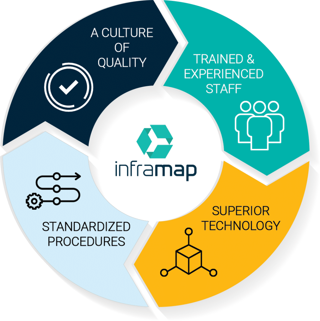
InfraMap's Key to Success

Success takes time.
In the early 1980s, utility mapping/subsurface utility engineering was a new field that combined geophysical detection of utility structures with land surveying and engineering oversite.
In those days, utilities were plotted from records, and contractors had to verify them with a backhoe and shovel during construction. Sure, plotting utilities from records was cheap, but it was a false economy. Change orders related to utilities were common, and unplanned utility relocations led to expensive delays and cost overruns. Even so, it was an uphill battle to gain acceptance for utility mapping/subsurface utility engineering. Potential clients told us it was a good idea, but not in the budget or simply “not how we do it.” Fortunately, a few gave it a try and our client list began to grow.
The County of Fairfax, Virginia, and the Virginia Department of Transportation were the first to see the value of utility mapping during planning and design. That was soon followed by test holes to expose utilities at potential conflicts before construction. The FHWA also took an interest in the emerging field to reduce risk, compress schedules, and control costs. Several studies soon confirmed that utility mapping/subsurface utility engineering saved money — lots of money.
Now, over three decades past our “start-up” days, we continue to advocate for the use of utility mapping/subsurface utility engineering. Our work on the ASCE 38-02 Standard committee for collecting and depicting utility data is part of our commitment to the advancement of the field.
KEY 1 - A Culture of Quality
We have fostered a culture that values “getting it right.” People think of corporate culture as a top-down thing, but InfraMap is different. The drivers of our culture are the technicians. They are the ones out in the weather trying to untangle the mass of utility lines buried below. It’s hard work, and it’s easy to get it wrong. Every technician understands their responsibility to get it right - because the alternative is not an option.
Key 2 - Training
Successful completion of InfraMap’s Certified Technical Locator program is required for all field technicians, surveyors, engineers, and CADD operators. This program allows staff to obtain certifications by passing tests in utility systems, geophysical and electromagnetic theory, use of EM locators, and GPR, as well as utility designating, vacuum excavation, field sketching, survey methods and equipment, maintenance of traffic, and project management/quality control.
Training is a key to our success. We recognized that understanding utility systems is the basis of everything we do. Therefore, training begins by giving staff the deep familiarity with utility systems they need to become effective Technical Locators and advance through the organization. We cover all major buried and above-ground utility systems. Subjects include design, layout, materials and construction methods, components and their functions, and utility record interpretation.
KEY 3 - Superior Technology
We are well known for our ability to create and field one-of-a-kind solutions for nearly any utility mapping challenge. Dedicated R&D resources and equipment fabrication facilities give us the unique capacity to provide engineered solutions in real-time. InfraMap uses its patented technologies and custom software applications in its utility locating services in addition to our complete complement of off-the-shelf equipment.
KEY 4 - Standardized Procedures
From day one, InfraMap has devoted considerable time to developing uniform workflows and standard procedures for each of the utility mapping services we provide.
Written procedures cover records research, utility detection, vacuum excavation, survey, CADD processing, and QA/QC for each stage, from data collection to engineering review.
